(2) copy.jpg)
|
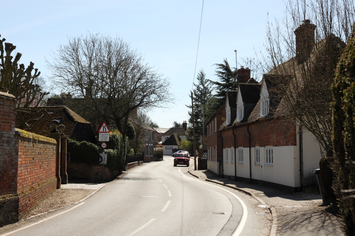
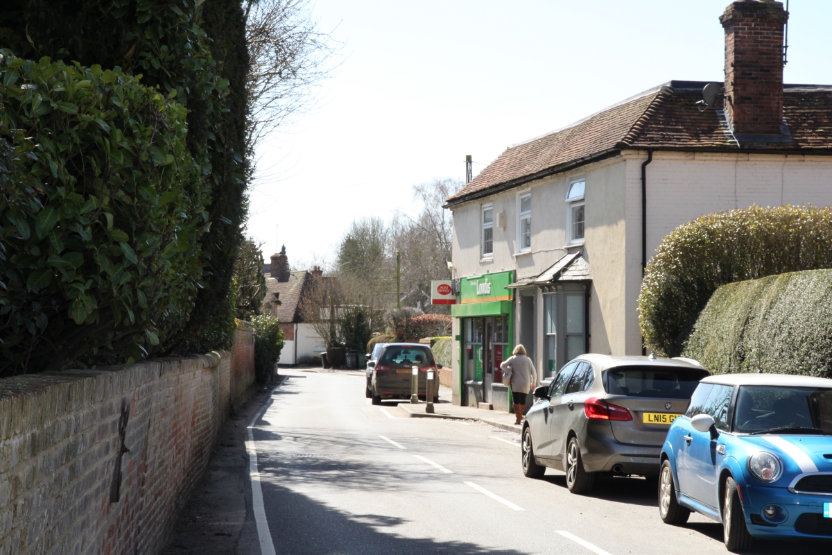
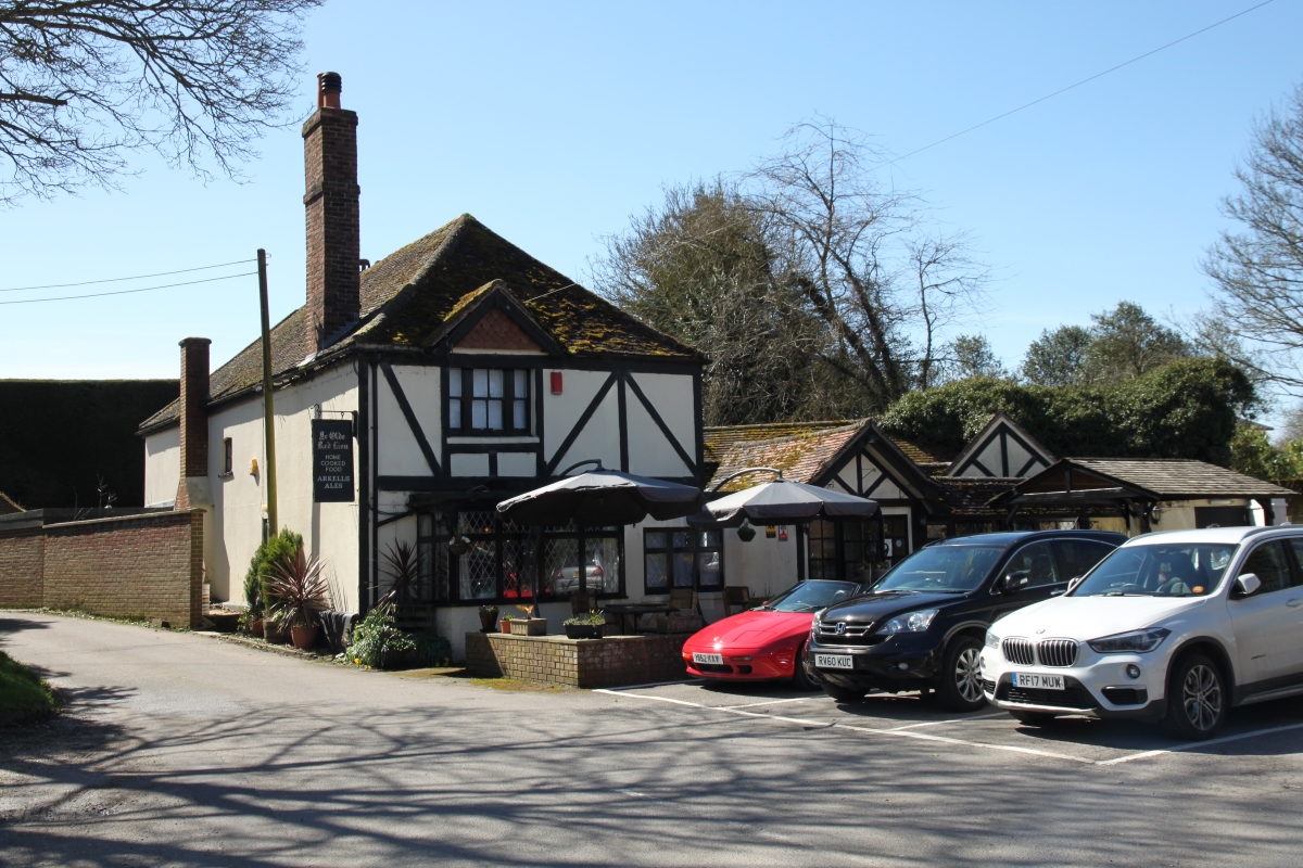
ChieveleyChieveley is close to Junction 13 of the M4 motorway and the A34 trunk road, and the A34 bypasses the village. The former route of the A34 runs parallel to the modern trunk road just to the east of the village. High Street runs north to south through the centre of the village and contains an interesting mix of large houses of various ages but mainly pre-20th century. Off the High Street are small estates of modern housing.
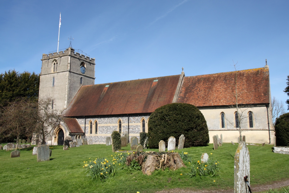
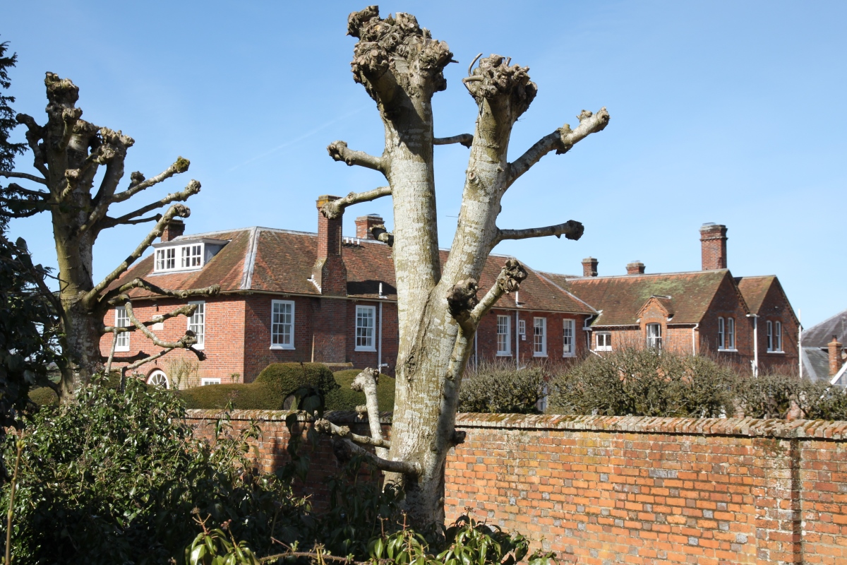
The parish church, dedicated to St. Mary the Virgin, is on the west side of the village at the end of a short narrow lane. The church dates from the 13th century and has one of only three remaining Lenten Veil Screens in England. These screens were used before the Reformation for the hanging of a veil to screen off the altar during lent. Adjacent to the church is Chievely Manor, a late 18th century brick building with alterations made c.1920. The attractive garden is opened under the National Gardens Scheme. Just to the north of Chieveley is the hamlet of Downend, which appears now to comprise mainly modern housing. The name Chieveley is said to be derived from 'Field of Chives' because of the wild chives that grow in the area, apparently introduced by the Romans. Chieveley is 3.5 miles north of Newbury in Berkshire, close to the M4 motorway and A34 trunk road. |
|