(2) copy.jpg)
|
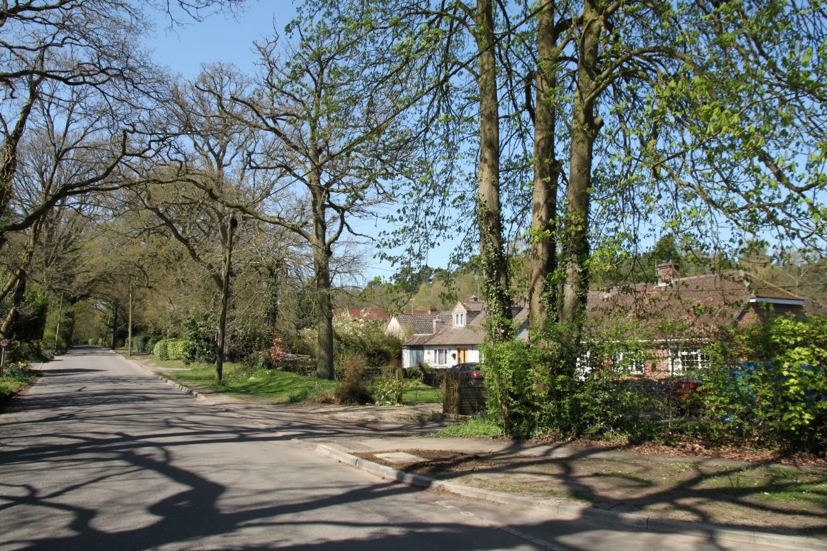
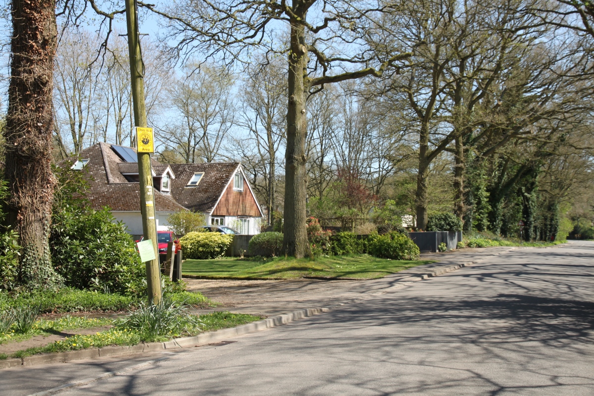
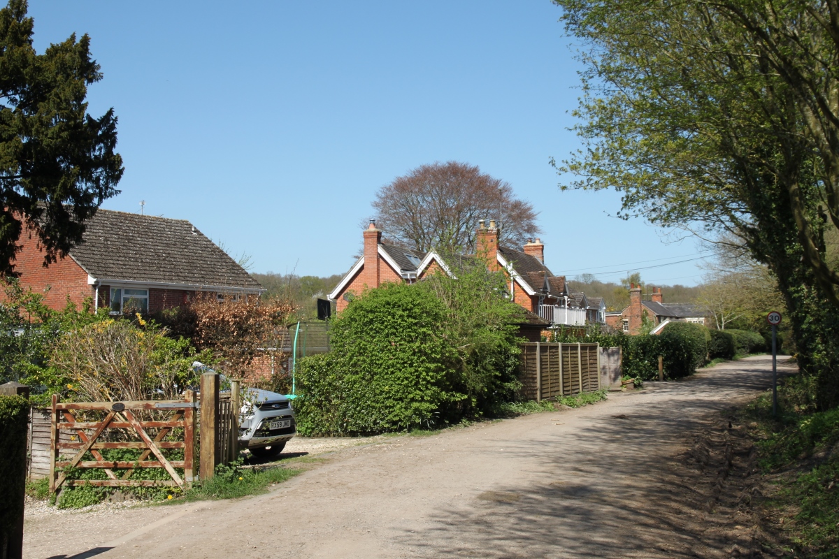
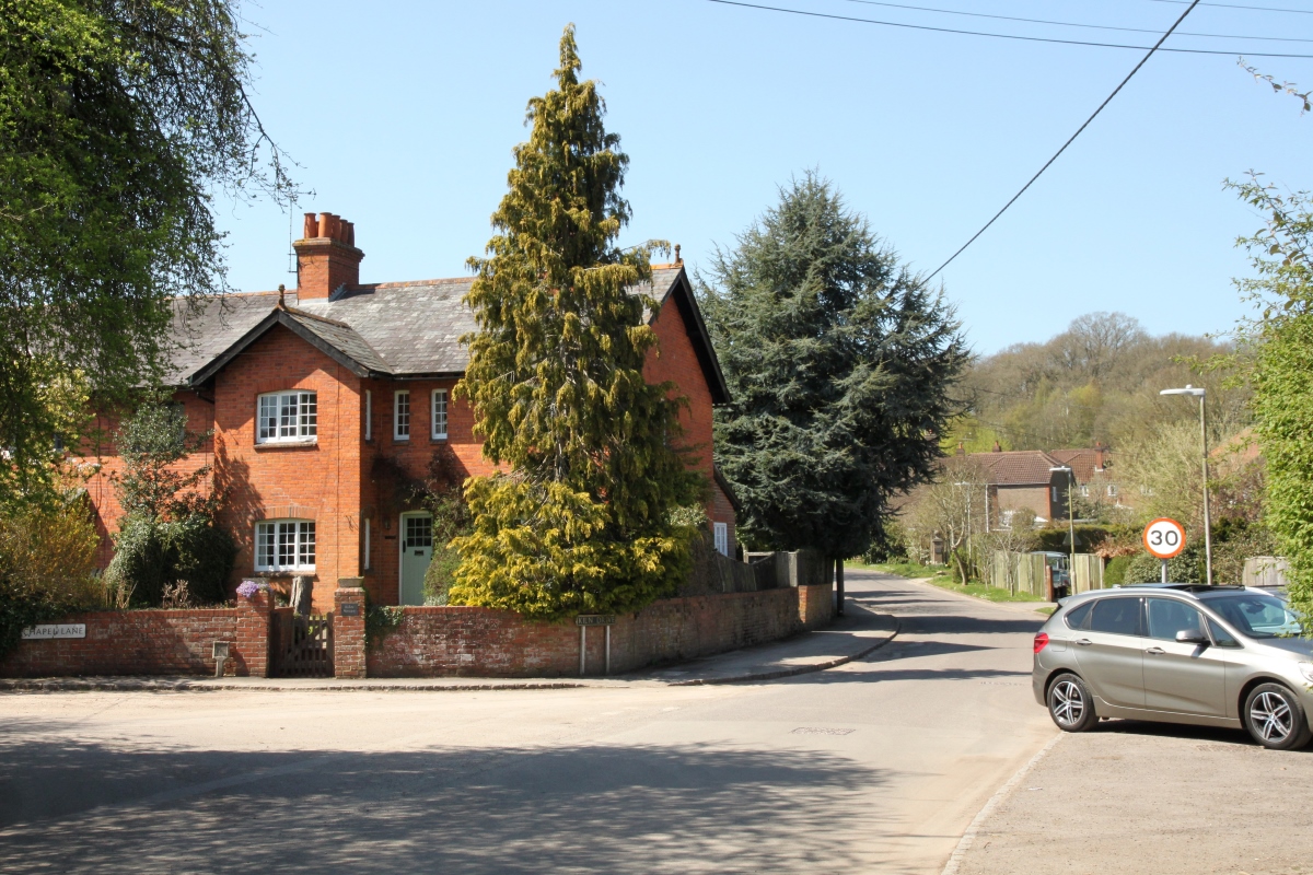
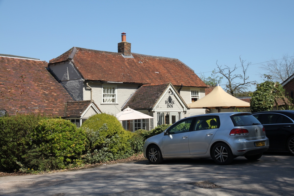
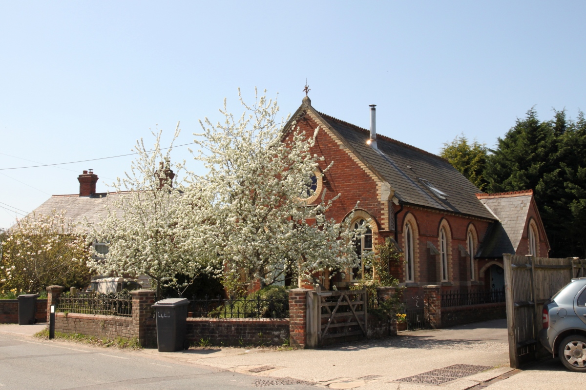
CurridgeThere appears to be no recognisable centre to Curridge and there are few interesting old cottages. Situated in a leafy part of the downs, the village sprawls along Curridge Road and several side roads with the houses and cottages semi-hidden by hedges and trees. Several of the side roads are in fact byways and therefore are unsurfaced. Curridge has no village church although there were in the past both a Baptist and Methodist chapel, both now closed.
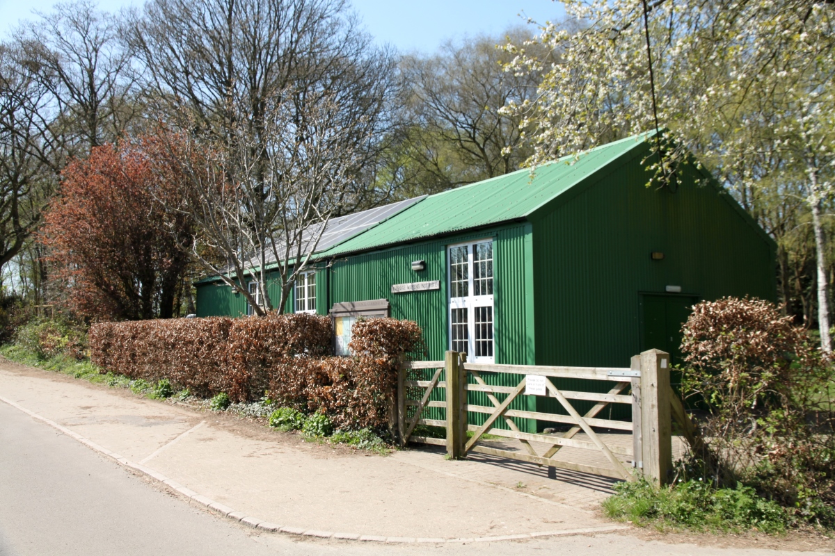
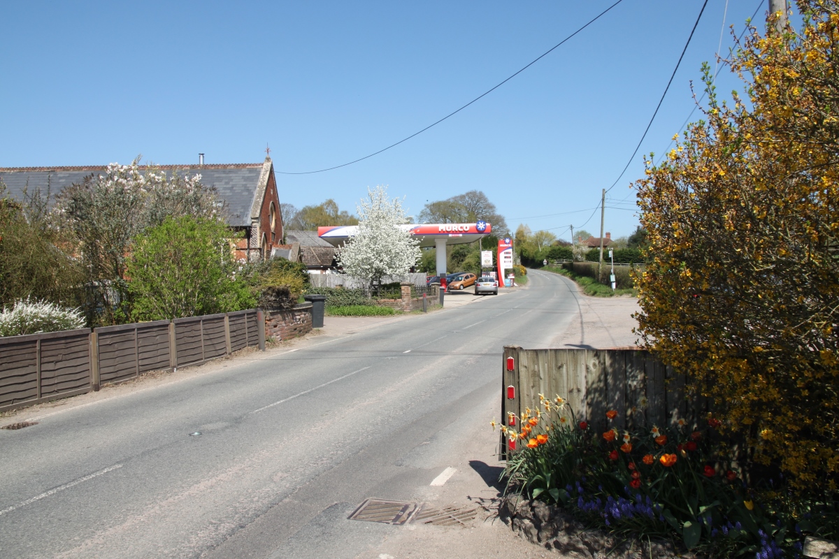
In the extreme west of the village, beyond most of the houses is the village school and the WI hall. In the extreme east of the village is the area known as Long Lane, centred on the road of the same name (the B4009) and this is the part of the village where rural industry at one time was centred. The village had sandpits, sawmills, brickworks, blacksmith, baker, garage, shop and post office. There is still a filling station in Long Lane and an industrial estate. To the north of the village is Denison Barracks which was used as an American military hospital during the Second World War and became the home of the Royal School of Military Survey in 1949. The Military Stabilisation Support Unit, the Defence Cultural Specialist Unit, Land Intelligence Fusion Centre and 15 Psychological Operations Group currently use the site. Curridge is just south of the M4 motorway and east of the A34 trunk road and about 4.5 miles north of Thatcham by road. |
|